Michaeldene Trail
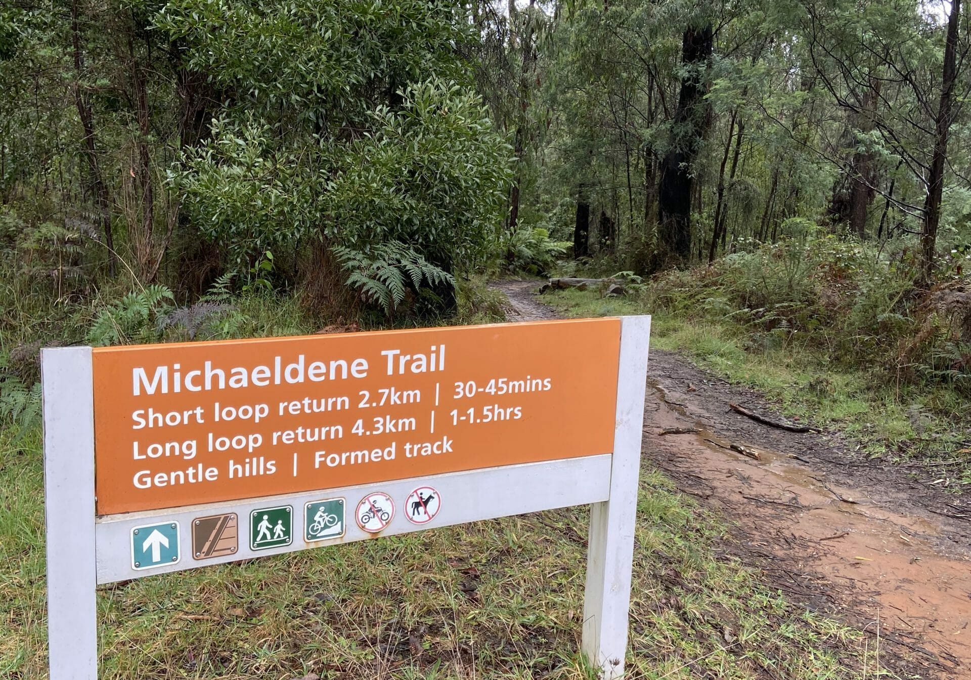
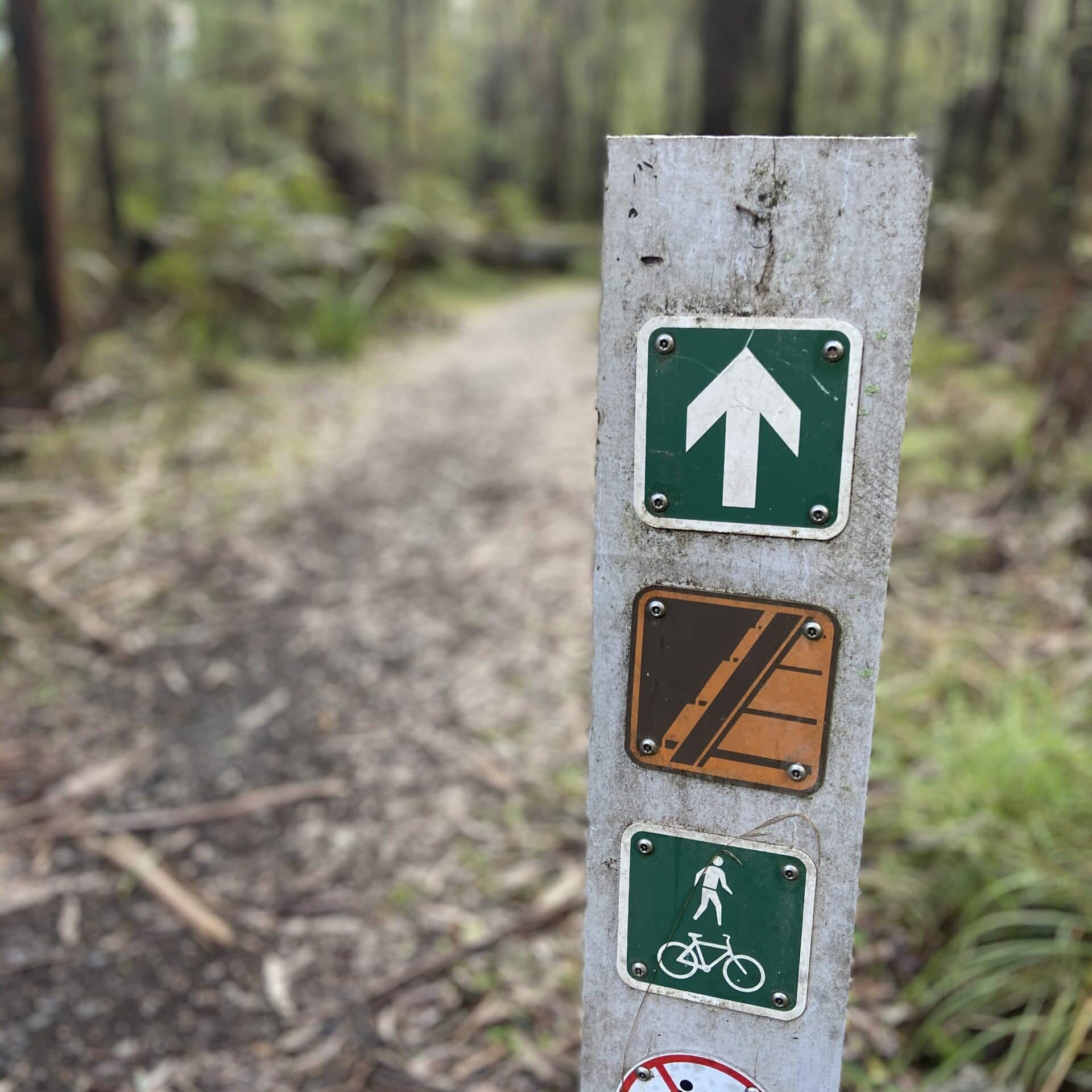
The Michaeldene Trail is a level 2 loop that may be undertaken as either as a Short (2.7 km) Loop , or a Long (4.3 km) Loop. - 30 mins to 1 hour and a half. The well formed trail ranges from clay to gravel and stone in some parts. It crosses over several dirt roads but is clearly sign posted and easy to follow.
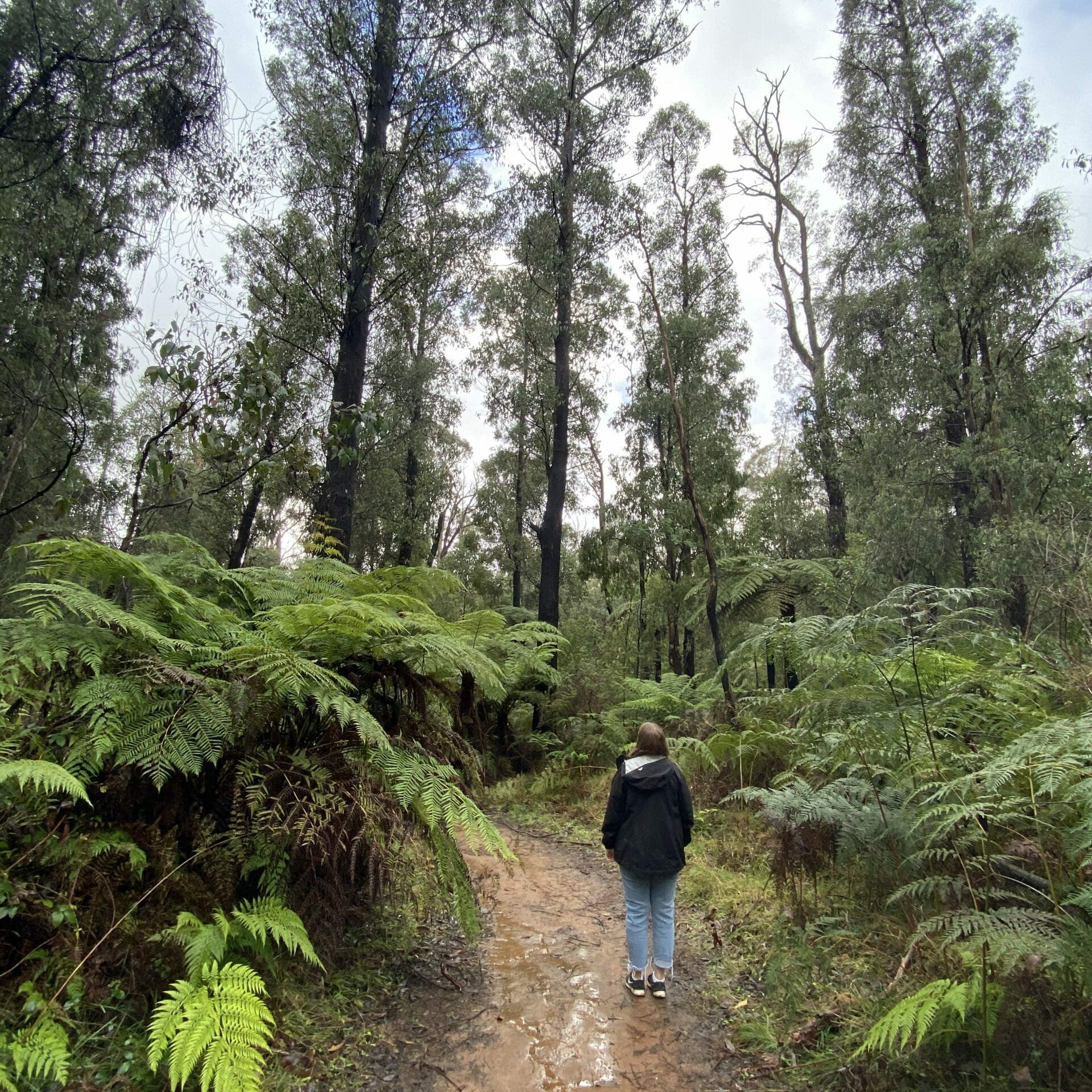
The attractive bushland linking the Steavenson and Taggerty Rivers allows walkers and cyclists to step back in time to Marysville’s historic logging past.
Sections of this mostly flat circuit follow old tramline alignments, which in places reveal the original timber sleepers on which the big logs were transported to the nearby sawmill.
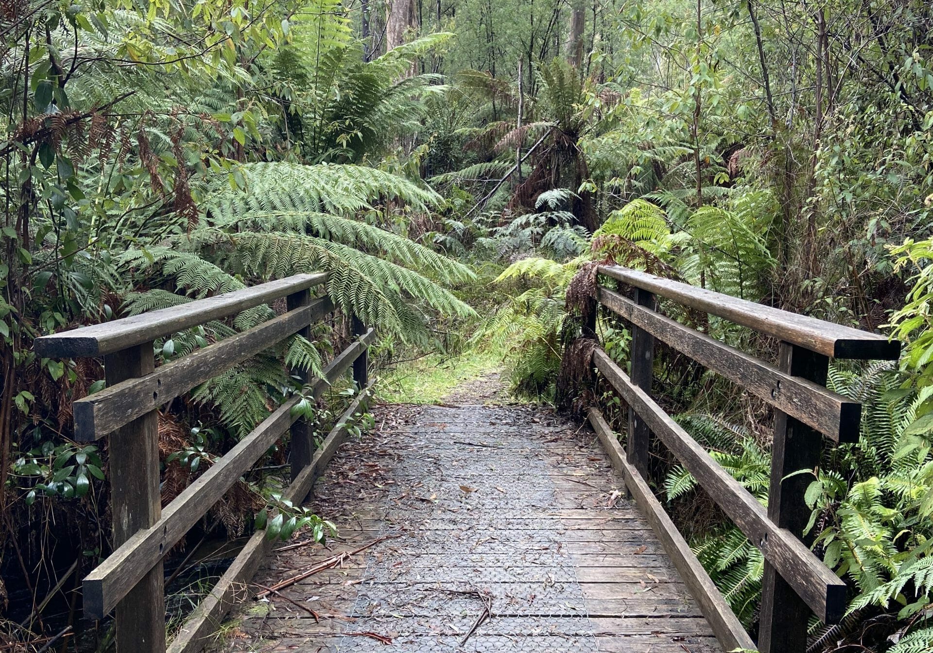
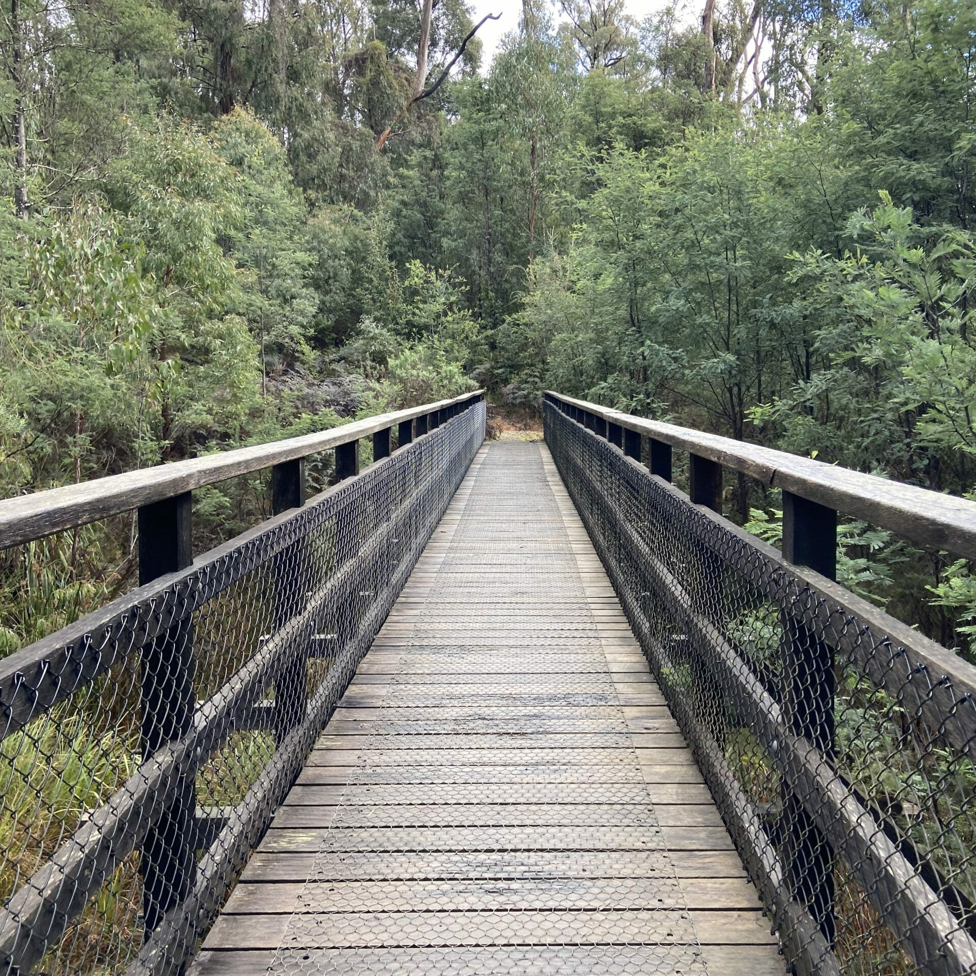
The Taggerty River Lookout offers views over the Taggerty River. The Trestle Bridge was built to span a small gully and provide access to the timber on Red Hill. If you cross the trestle bridge you'll also find you can access the Red Hill track or return to your car via the Michaeldene Track.
* Please note horses are not allowed on this trail but dogs are permitted. The trail can be quite slippery in wet weather so wear proper hiking boots or shoes with a solid grip.
GETTING THERE
From the Marysville township follow Marysville-Woods Point Road until you reach it's junction with Lady Talbot Drive and Kerami Crescent. There is an area here in front of the orange trail head sign where you can park your car.
* Before you go please read our top travel safety tips HERE
